-
Popular places to visit
Popular things to do
Helpful tips
Here's a few useful links to help with planning your trip to Aotearoa New Zealand.
-


What's an old volcano doing at the edge of the Southern Alps? Around Mount Somers, the usual greywacke rock is upstaged by lava formations.
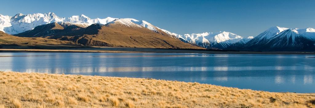
Located at the eastern edge of the Southern Alps, inland from Ashburton, Mount Somers' point of difference is its volcanic origins. The mountain's extensive volcanic formations of andesite and rhyolite can be explored in the Mount Somers Conservation Area.
The premier walking experience here is the Mount Somers Sub-Alpine Walkway, which can be started at either Woolshed Creek car park or Sharplin Falls car park. To complete this walk you need to allow one long day, or arrange to stay a night at one of the huts along the route. Walkway highlights include an old coal mine, water caves, lava formations, waterfalls and panoramic views of the high country. There's also a variety of short walks in the area - the 20-minute Nature Trail and 30-minute Miners Track are both rewarding.
If you want to hike to the summit of Mount Somers, you have a choice of two routes - one journeys across the High Plateau, leaving from the Woolshed Creek car park; the other travels via Hookey Knob and the Stavely Ridge, leaving from the Sharplin Falls car park.Being a sub-alpine area, the weather can change quickly around Mount Somers. Hikers should always be prepared for all conditions.
Looking for deals