-
Popular places to visit
Popular things to do
Helpful tips
Here's a few useful links to help with planning your trip to Aotearoa New Zealand.
-


This regional park is one of north Auckland's best-kept secrets. If a swell is running from the north or east, come ready to play in the surf.
The road to Tāwharanui heads east from the riverside town of Warkworth off State Highway 1. You'll soon pass through the rural area of Matakana, with its well-known craft studios, cafes and vineyards. The road continues through farmland and ends with a winding gravel section.
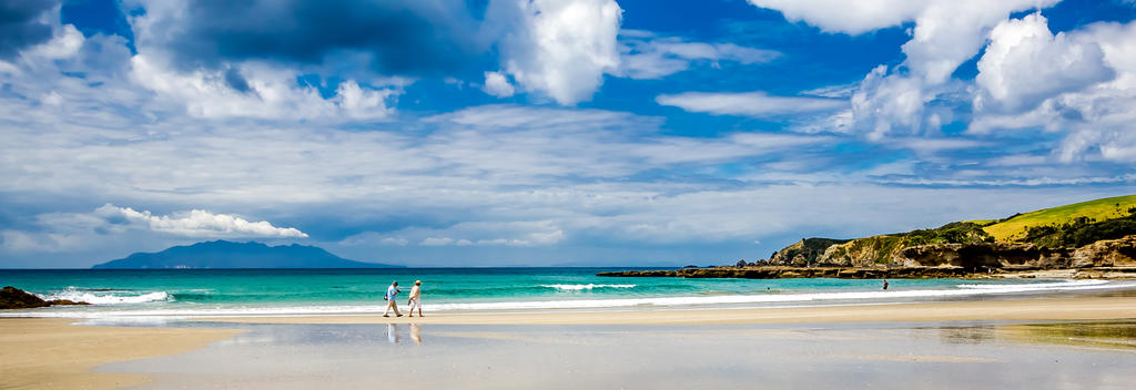
Once a large private farm, the Tāwharanui Regional Park covers the end of a peninsula that extends into the Pacific Ocean just north of Kawau Island. The long, sandy beach on the northern side is considered to be one of the best swimming and surfing venues in the Auckland region. There are grassed areas above the beach furnished with shady pohutukawa trees - a picnic paradise.
An ecology trail starts at the far end of the beach, beyond a protected breeding area of very rare New Zealand dotterel birds. The trail passes along a rounded-stone beach before climbing up across farmland to a valley of beautiful native forest. Points of interest are marked along the way and copies of the trail guide are available from the hut at Anchor Bay. There are several longer walking trails in the area, including one to panoramic views from high on the end of the peninsula.
Tāwharanui Regional Park is about 80 minutes drive north of Auckland. There is a tent camping site and bookings must be made by contacting the Auckland Regional Council. This popular site is booked well in advance for the summer holiday months.